Monroe
County
Working Waterfronts Preservation Master Plan
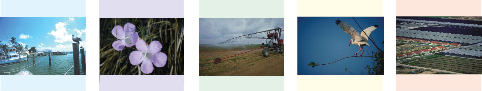
Monroe County is losing recreational and commercial working waterfronts along with public access to the water through the redevelopment of marine facilities, including marinas, boatyards, wet and dry storage, fish houses and commercial fishing vessel dockage. A limited supply of waterfront land and an increasing demand by different uses is leading to loss of the “working waterfront,” which includes commercial and recreational marinas, boatyards, wet and dry storage, fish houses, commercial fishing vessel dockage and marine-related industries such as boat dealers, boat repair and maintenance services, commercial fishing and tourism. The current trends are conversion of waterfront to non-water dependent uses and privatization of waterfront reducing public water access.
The Monroe County Working Waterfronts Preservation Master Plan includeses 3 products:
- Working Waterfronts Preservation Master Plan, incorporating proposed comprehensive plan and land development regulation amendments
- Monroe County Marina Siting Plan
- Marine Facilities Database and GIS Map Atlas
Recommendations are based on research which began in 2005 when Monroe County retained the South Florida Regional Planning Council (SFRPC) and the Center for Urban and Environmental Solutions of Florida Atlantic University (CUES) to develop a Monroe County Marine Management Strategic Plan to provide strategies for protecting and preserving the working waterfronts of Monroe County. Monroe County adopted the Marine Management Strategic Plan in March 2006. Phase 2 includes the refinement and updating of the Marine Facilities Database and Geographic Information System (GIS) Map Atlas and the development of a Marina Siting Plan as required by state statute.
Please note that most files are in Adobe Acrobat PDF format. Due to their large size, it is usually best to download the files first to your computer before opening. Right-Click the filename, choose "Save Target As" and specify a location in your computer.
Working Waterfronts Preservation Master Plan (800kb PDF)
Monroe County Marina Siting Plan
Option One – Plan text with all Figures from Appendix D (55.6mb PDF – very large!)
Option Two – Plan text without Figures from Appendix D (899kb PDF)
Option Two – Figures from Appendix D for individual download (in JPG format)
Figure 1. Upper Keys Seagrass (2,709kb)
Figure 2. Middle Keys Seagrass (2,786kb)
Figure 3. Lower Keys Seagrass (2,420kb)
Figure 4. Upper Keys Canal Water Quality (1,055kb)
Figure 5. Middle Keys Canal Water Quality (1,065kb)
Figure 6. Lower Keys Canal Water Quality (1,052kb)
Figure 7. Upper Keys Water Depths (1,405kb)
Figure 8. Middle Keys Water Depths (1,346kb)
Figure 9. Lower Keys Water Depths (1,260kb)
Figure 10. Monroe County American Crocodile Habitats (1,877kb)
Figure 11. Monroe County Manatee Abundance (1,292kb)
Figure 12. Monroe County Manatee Density (1,445kb)
Figure 13. Total Manatee Mortality Among 13 "Key" Counties Compared to Monroe County (included in text of Marina Siting Plan)
Figure 14. Total Number of Registered Vessels in Monroe County (included in text of Marina Siting Plan)
Figure 15. Monroe County Total Manatee Mortality (1,322kb)
Figure 16. Manatee Mortality Density in Monroe County (1,328kb)
Figure 17. Watercraft-related Manatee Mortality in Monroe County (1,149kb)
Figure 18. Density of Watercraft-related Manatee Mortality in Monroe County (1,328kb)
Figure 19. Monroe County Sea Turtle Nesting Beaches (1,503kb)
Figure 20. Monroe County Sea Turtle Strandings (1,605kb)
Figure 21. Density of Sea Turtle Strandings in Monroe County (1,274kb)
Figure 22. Locations of Sea Turtles Impacted by Boats in Monroe County (2,130kb)
Figure 23. Boat Impacted Sea Turtle Strandings in Monroe County (1,065kb)
Figure 24. Upper Keys Seagrass Scarring (1,194kb)
Figure 25. Middle Keys Seagrass Scarring (1,225kb)
Figure 26. Lower Keys Seagrass Scarring (1,182kb)
Figure 27. Monroe County Marine Facility Density (1,586kb)
Figure 28. Upper Keys Marine Facility Density (1,129kb)
Figure 29. Upper Keys Boat Ramp Density (1,137kb)
Figure 30. Middle Keys Marine Facility Density (1,123kb)
Figure 31. Middle Keys Boat Ramp Density (1,128kb)
Figure 32. Lower Keys Marine Facility Density (1,096kb)
Figure 33. Lower Keys Boat Ramp Density (1,101kb)
Figure 34. Incorporated Areas in Monroe County (1,278kb)
Figure 35. Marine Facilities – Unincorporated Upper Keys (1,212kb)
Figure 36. Marine Facilities – Unincorporated Middle Keys (1,225kb)
Figure 37. Marine Facilities – Unincorporated Lower Keys (1,155kb)
Figure 38. Upper Keys Managed Areas (1,242kb)
Figure 39. Middle Keys Managed Areas (1,183kb)
Figure 40. Lower Keys Managed Areas (1,164kb)
Figure 41. Florida Forever Board of Trustees Projects in the Upper Keys (1,164kb)
Figure 42. Florida Forever Board of Trustees Projects in the Middle Keys (1,091kb)
Figure 43. Florida Forever Board of Trustees Projects in the Lower Keys (1,081kb)
Marina Site Suitability Maps (in PDF format, for 11” x 17” printing)
Caesar Creek to Card Sound Road (7.2mb)
Card Sound Road to MM107 (9.6mb)
MM112 to MM100 (11.6mb)
MM100 to MM090 (9.4mb)
MM090 to MM080 (8.4mb)
MM080 to MM070 (8.7mb)
MM070 to MM060 (7.4mb)
MM060 to MM050 (9.0mb)
MM050 to MM040 (6.2mb)
MM040 to MM030 (12.3mb)
MM030 to MM020 (15.1mb)
MM020 to MM010 (13.3mb)
MM010 to MM000 (11.9mb)
Map Atlas for the Marine Facilities Inventory (in PDF format, for 11” x 17” printing)
Database Description and Data Sources (63kb)
Caesar Creek to Card Sound Road (7.2mb)
Card Sound Road to MM107 (9.6mb)
MM112 to MM100 (11.7mb)
MM100 to MM090 (9.5mb)
MM090 to MM080 (8.5mb)
MM080 to MM070 (8.7mb)
MM070 to MM060 (7.5mb)
MM060 to MM050 (9.1mb)
MM050 to MM040 (6.3mb)
MM040 to MM030 (12.2mb)
MM030 to MM020 (15.1mb)
MM020 to MM010 (13.4mb)
MM010 to MM000 (11.9mb)
Numbered Listing of Marine Facilities in Monroe County (34kb)
If you need additional information, please contact Julia Trevarthen (juliat@sfrpc.com), Dick Ogburn (rogburn@sfrpc.com) or Manny Cela (celam@sfrpc.com).
